
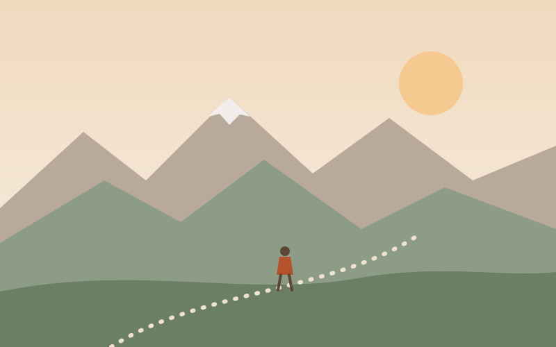
Eleven miles, one wrong turn, and the best sandwich of the year, eaten on a rock with the valley full of cloud below.
We started early from the car park at the bottom of the valley, which was already busy with people unloading bicycles and dogs. The first hour is a steady climb through beech woods, the kind of path where you can talk easily for the first ten minutes and then, gradually, stop talking.
The wrong turn
There is a fork about halfway up where the obvious path goes left and the right path goes right. We went left. It was a very pleasant forty minutes before a sheep looked at us in a way that suggested we had made a mistake. The map, consulted at last, agreed with the sheep.
I have written before about paper maps, and this is the other half of that argument: a map only helps if you look at it.
On the top
The ridge itself is a long, gentle spine with steep drops on both sides. On a clear day you can see three counties. On this day we could see a sea of white cloud with the tops of other hills poking through like islands, which was better.
- Total distance: about eleven miles
- Climbing: a little over 2,000 feet
- Sandwiches: two each, both necessary
- People met on the ridge: four, plus one very confident terrier
We came down the long way, through the old quarry and along the stream, and were back at the car as the light started to go amber. Legs fine. Knees will report tomorrow.